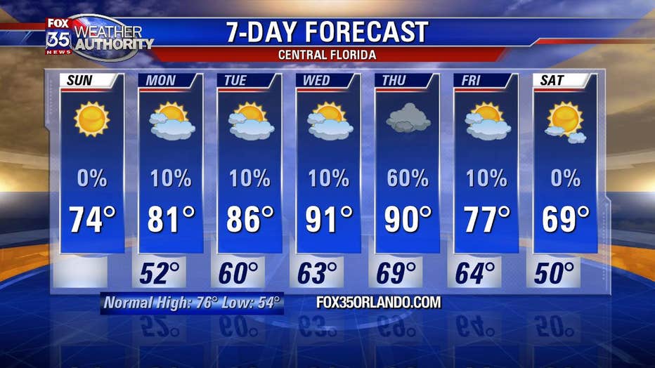
After a cool weekend, temperatures will heat up to near 90 degrees in Central Florida
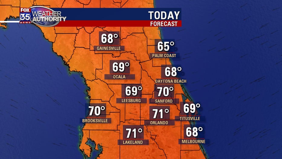
ORLANDO, Fla. - Well, would you look at this! Another gorgeous Sunday across Central Florida. Highs will be a little warmer compared to just yesterday. Expect beautiful sunshine and highs near 70 inland and 60s along the Atlantic side beaches. Winds will be rather light, eventually becoming northeasterly later in the day.
Then on Sunday night, temperatures trend warmer overall in part to a shift in winds to the southeast. The most noticeable changes will be in Brevard County and points south. Lows in these areas will fall closer to 60 compared to the northern interior that will still see 40s and lower 50s. Skies remain mainly clear and winds light.

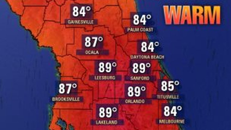
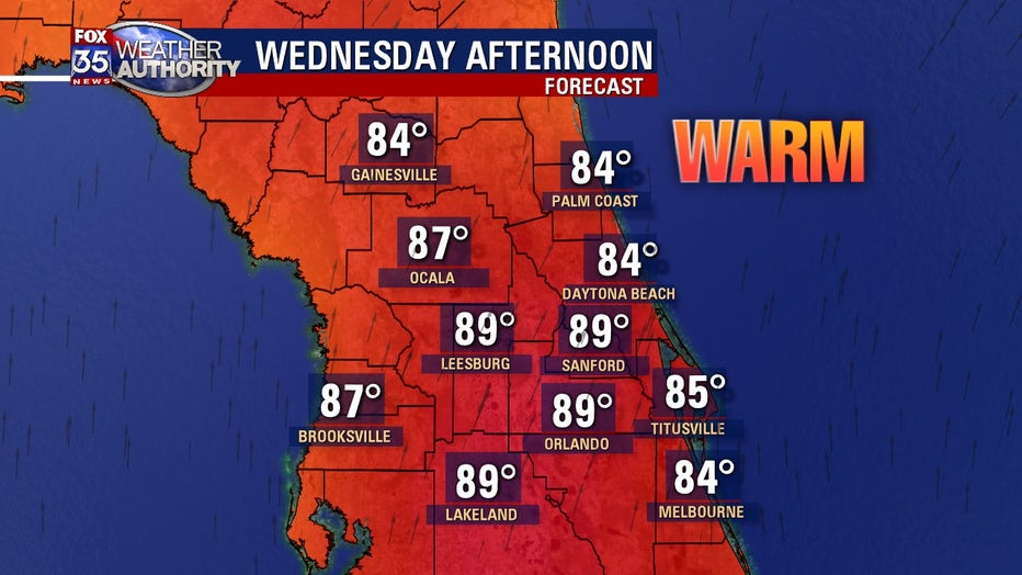
Bigger weather changes in the temperature department take shape by Wednesday in advance of a cold front. Winds will veer to the south as high pressure sets up over the Atlantic to the east of Florida. The wind direction coupled with plenty of sunshine will send temperatures way up. Highs will creep up to nearly 90 degrees West of I-95 with ease and the humidity will also remain propped up. It will feel very much like early summer out there.
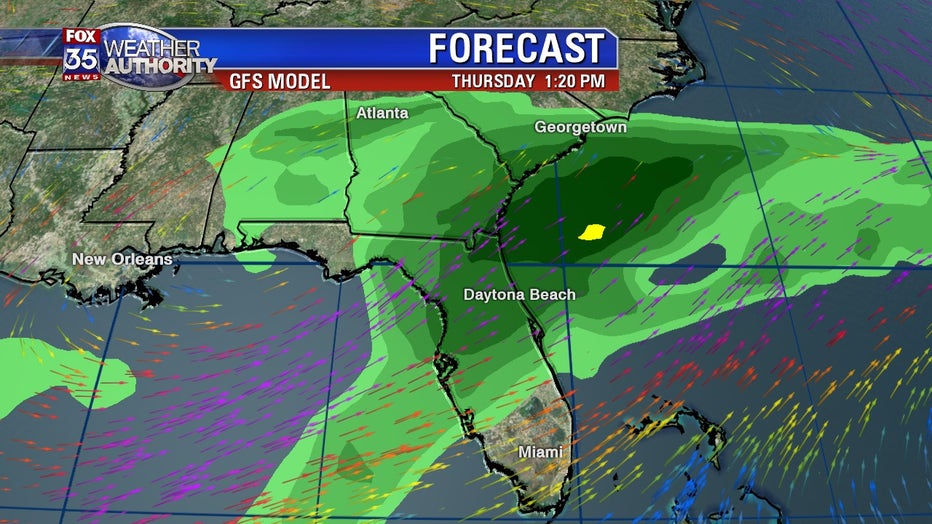
Once the cold front arrives by Thursday, clouds will increase and rain chances will rise. Current forecast modeling is showing an upswing in rain coverage by late Thursday morning into the PM hours. Could be a few thunderstorms mixing in with the showers so stay tuned for the possibility of any storm impacts to Central Florida during that time. Behind the front, gorgeous weather plays out yet again next weekend!