

Closing out the week with beautiful weather before weekend rain arrives

Orlando, Fla. - Looks like some fabulous weather for Central Florida on Thursday.
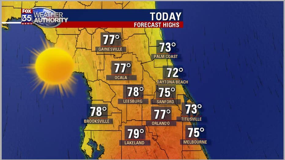
A cold front moved through the area on Wednesday and will provide the region with very dry air, plentiful sunshine, and fresh northerly breezes. While our typical high this time of year in Central Florida is normally in the mid-upper 80s, we won't even get close today.
Expect highs only in the 70s from the beaches all through the interior.
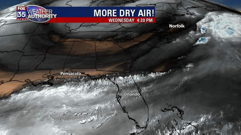
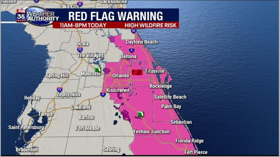
One thing to keep in mind today is that the viewing area remains very dry. Major rain deficits continue and the earth could use a big glass of water right about now. Considering the drier air that has now moved in coupled with gusty northerly breezes, the risk of wildfires will be heightened today.
A 'RED FLAG WARNING' will go into effect from 11am-8pm today. Outdoor burning is highly discouraged and we ask you to use common sense with the conditions today.
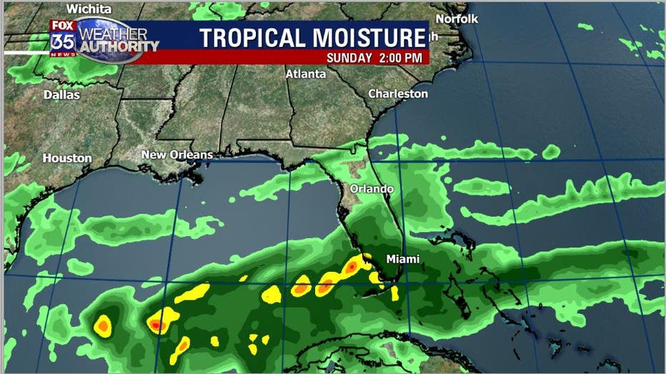
The weekend weather scene gets interesting. While Saturday looks decent, Sunday sees big changes. Forecast models are continuing a rather wet theme as we head into Mother's Day. Low pressure will work in tandem with a stalled front laying across Central Florida.
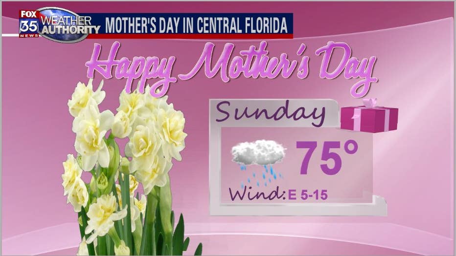
The low will move up and out of the Gulf of Mexico towards Florida, spreading a large canopy of showers and embedded storms into the area.
Expect a soggy day with the potential for areas of heavy rain. Rain accumulations will be very beneficial though with accumulations around 1-2" possible.
Download the FOX 35 Weather App for daily forecast reports, live radar, and more.