

Orlando Weather Forecast: Cold front to drop temps, bring rain and storms this week | Timeline

Weather Forecast: Dec. 12, 2022
Orlando and Central Florida will see cool nights and pleasant days in the early part of the week. There could be some isolated showers on Tuesday afternoon. Big changes are ahead for Thursday and into the weekend.
LAKE MARY, Fla. - Cold air and rain are two weather elements that have been absent from our Central Florida forecast, but all of that changes this week, as a strong cold front moves through.
Today's high: 75 degrees | Tonight's low: 60 degrees | Rain: Dry
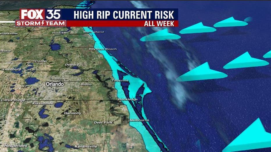
Main weather concerns: The rip current risk continues along our coast all week long. Another round of Northeast swell will arrive by Tuesday, keeping breaking wave heights high at our area beaches, conditions hazardous.
BEACHES: The high rip current risk continues today all along our coastline. Surf is in the 3-5' range as east-northeast swell comes into the beaches.
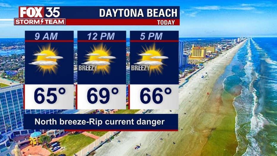
Rip current risk is high at all beaches. Temps beach side hit in the low to mid 70s, water temps are near 70. Another swell increase this week will add to the risk.
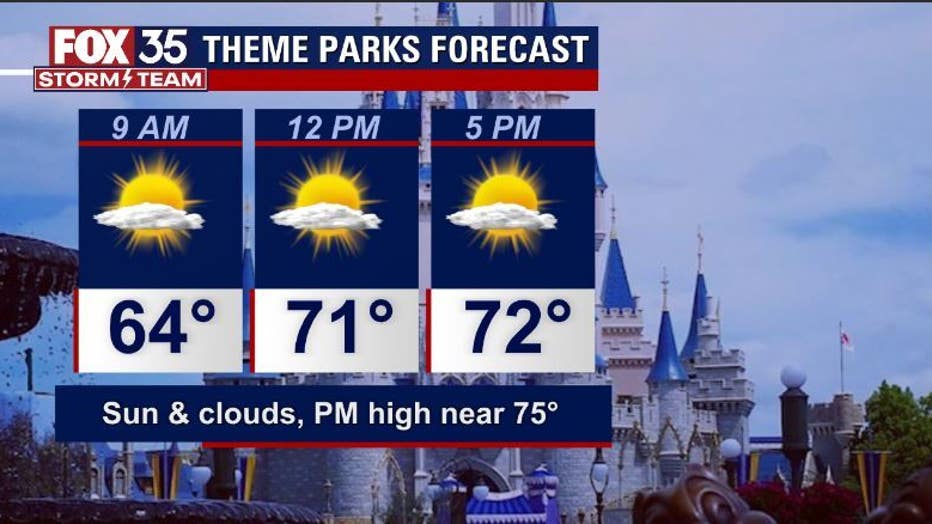
THEME PARKS: Fantastic weather is expected at the theme parks today. Highs will top out near 75 with partly cloudy, dry skies this afternoon.
OUTLOOK: Big changes are on the way to end the week. A strong cold front is expected to move through our area and bring with it a risk of strong to even severe storms. Because of that, we have declared Thursday a Weather Impact Day. After the rain exits Thursday night, cold air will usher into our area. The coldest air is expected Saturday morning with lows falling into the 40s for the first time this season. Another chance of rain could arrive on Sunday, but too early to say if it will materialize.
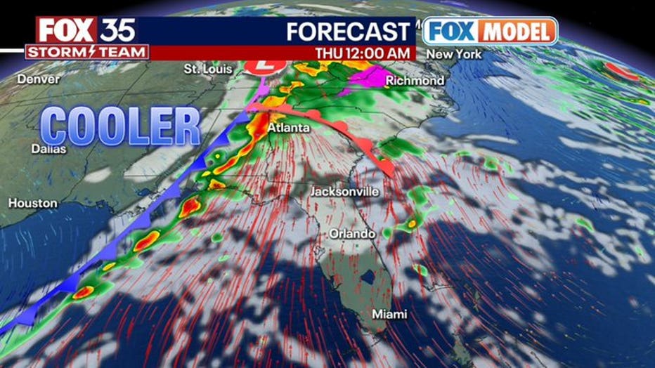
Severe weather risk will increase in advance of the front for the Gulf South tomorrow and then spread East into the Florida Panhandle by Wednesday.
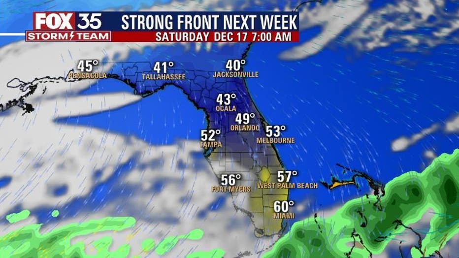
Behind the front, expect the coolest air of the season with lows into the 40s Saturday morning. High will be in the 60s during this time.