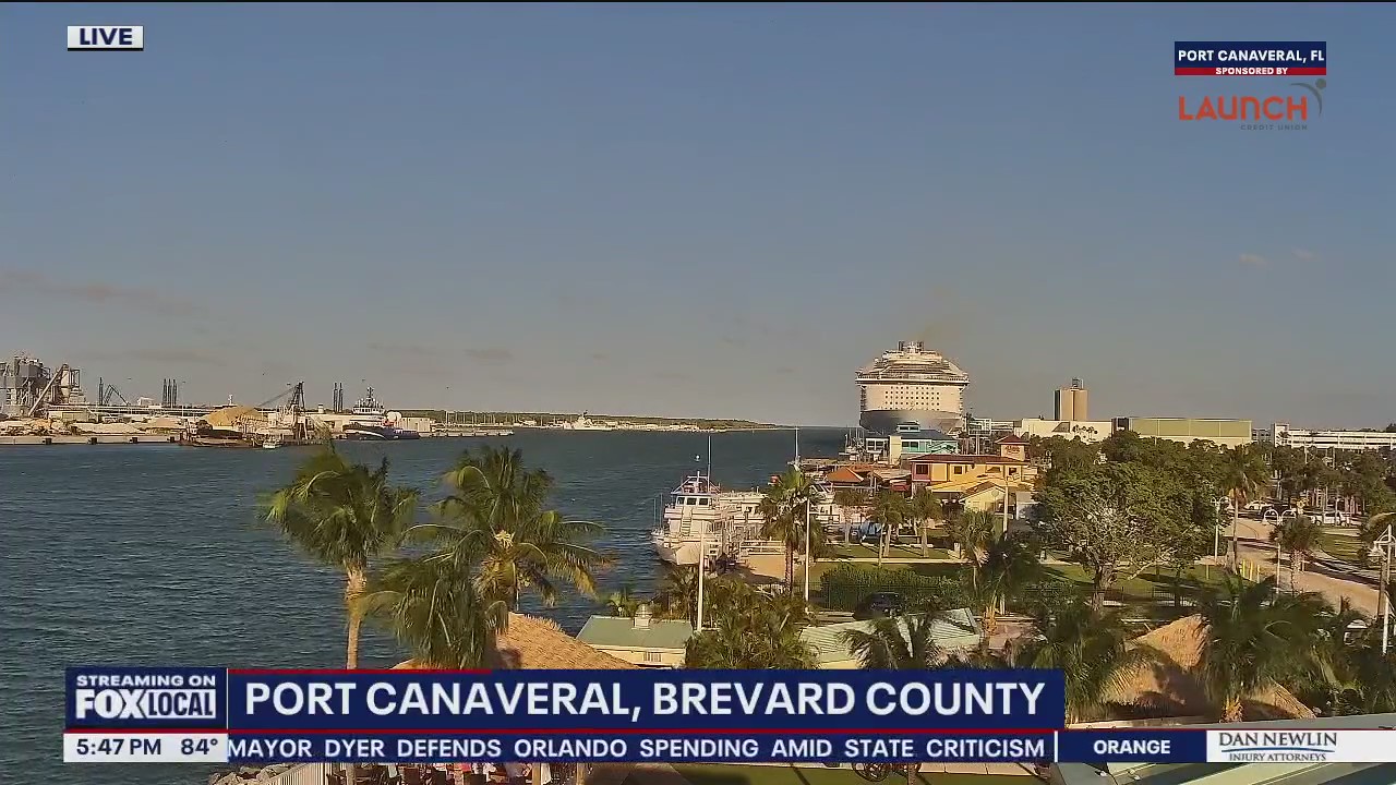
Orlando weather: More rain on the way through early afternoon; King Tide, flash floods bring local impacts

Orlando Weather Forecast PM: October 7th, 2025
FOX 35 Storm Team Senior Meteorologist Noah Bergren is tracking showers and storms returning later this week.
ORLANDO, Fla. - Gusty winds continue on Tuesday evening in Central Florida. Meanwhile, dangerous rip currents, large breaking waves, coastal erosion and King Tides will continue to impact areas of coastal flooding.
Here's a breakdown of the forecast for Wednesday and the rest of the week.
What will the weather look like on Wednesday?
What To Expect:
It will be partly cloudy with gusty northeasterly winds and minimal rain chances. Temperatures will be hotter inland with some places west of Orlando maybe getting into the low 90s during the afternoon.
CLICK TO DOWNLOAD THE FOX LOCAL APP

SIGN-UP FOR FOX 35'S BREAKING NEWS, DAILY NEWS NEWSLETTERS
What will the weather look like for the rest of the week?
Looking Ahead:
We finally catch a small break in the relentless wet weather as we head into Wednesday. However, we won't be completely dry, as a few isolated showers will remain in the forecast for some areas.
Temperatures this week will be around just below normal, with highs reaching the middle-to-upper-80s.

By Thursday and Friday, rain chances will increase yet again as moisture builds in from the south ahead of an approaching cold front. With the data we have now, it appears the cold front will make it through Central Florida, giving way to another dose of fall.
We're still several days out at this point, but we're getting consistent signs that next weekend may feature much drier and more pleasant air along with minimal to no chances of rain. It's looking more likely that the forecast will feature lower humidity, less rain and temperatures dipping down into the 60s for lows Saturday and Sunday morning.
The Source: This story was written based on information shared by the FOX 35 Storm Team on Oct. 7, 2025.

