

1st of 3 fronts moving in, temps to drop into 30s and 40s this week

Weather Report: December 14
FOX 35 meteorologist Jayme King gives the latest on the weather in Central Florida.
ORLANDO, Fla. - Several fronts will move through Central Florida this week, causing showers followed by a drop in temperatures. The region is expected to be back in the 30s and 40s by Thursday evening.
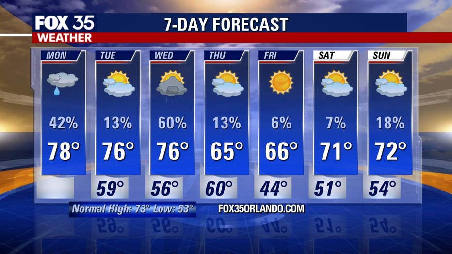
On Monday, expect partly cloudy skies and temperatures in the upper-70s, near 80 degrees, in Central Florida.
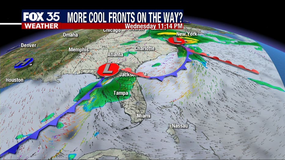
However, enjoy these warmer temperatures while they last, as big weather chances are coming by the middle of the week. We are tracking three cold fronts across our region.
WEATHER ALERTS: Download the FOX 35 Weather App to track the tropics on your phone, receive severe weather alerts, and get the latest daily forecasts
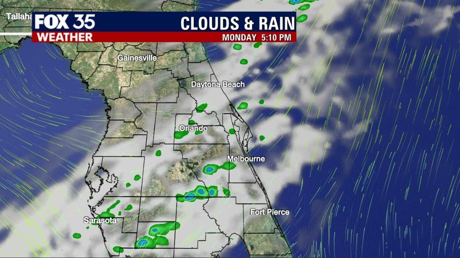
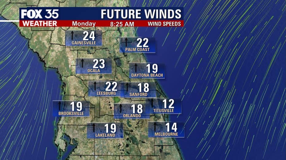
The first front will be on Monday afternoon or evening. This front will be rather weak, with rain chances between 10 to 20 percent. The biggest impact of this system will be gusty winds and gusts will range from 15 to 25 mph. Some showers can also be expected.
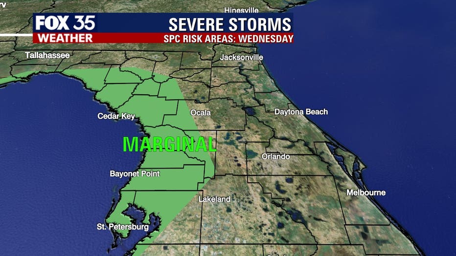
By Wednesday, an even stronger cold front will be nearing the Florida peninsula.
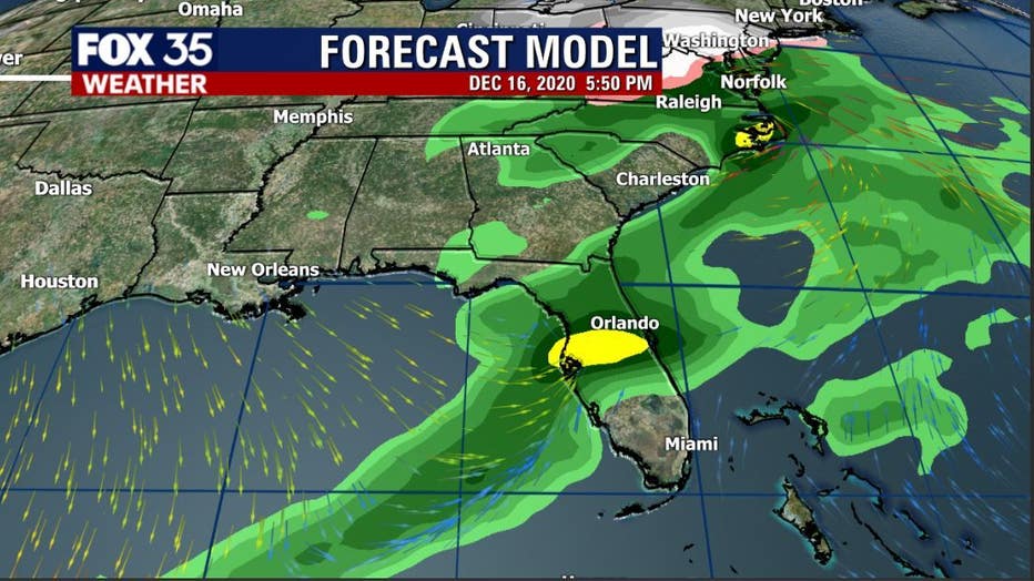
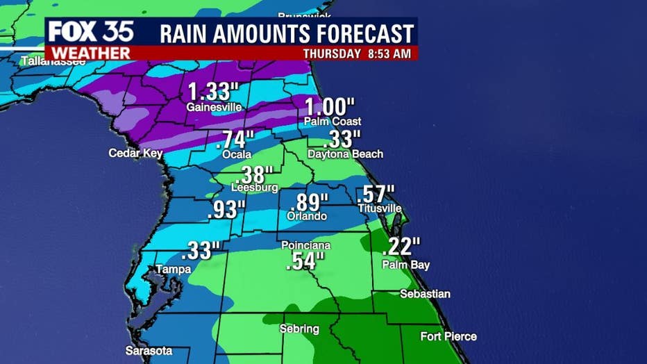
You can expect moderate to heavy rain, with the chance for thunderstorms and much cooler temperatures. There could be enough energy to generate some damaging winds and isolated tornadoes.
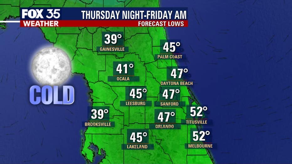
Once the rain clears by early Thursday morning, temperatures will be dropping into the 60s on Thursday and Friday.
The coldest night of the week will be Thursday night into Friday morning. Overnight lows across the interior will reach the 40s, and North Central Florida could be feeling temperatures in the 30s.
Following these two fronts, FOX 35 meteorologist Jayme King says we could expect a weaker front next Sunday.
Tune in to FOX 35 Orlando for the latest weather updates.