

Developing system in Atlantic likely to become Tropical Storm Isaias, NHC forecasts

Tracking the Tropics: July 27
FOX 35's Chief Meteorologist Glenn Richards is tracking activity in the tropics this hurricane season.
ORLANDO, Fla. - It's that time of year and on cue, the tropics are very active as we head into the week.
Hanna made landfall in southern Texas over the weekend as a Category 1 hurricane and left quite a bit of damage. It is now located over mainland Mexico, landlocked and producing lots of rainfall.
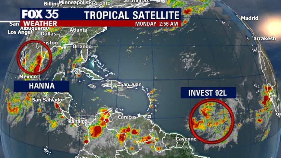
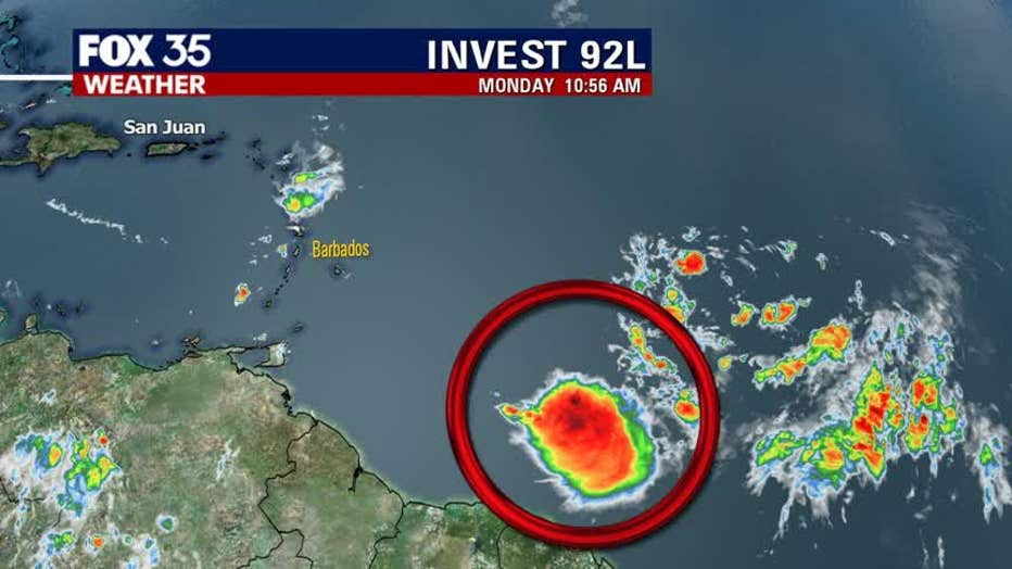
Meanwhile, out in the distant tropical central Atlantic, a new system has the attention of the National Hurricane Center and FOX 35 meteorologists.
TRACK THE TROPICS: The FOX 35 Hurricane Center gives you the latest on the 2020 Atlantic hurricane season, including the latest forecast models and storm tracks.
Invest system 92L came off the coast of Africa late last week. The system is still in its early stages but the National Hurricane Center (NHC) gives it a high chance of developing over the next few days. If it becomes a named system, it will be called 'Isaias' and would be our 9th named storm of the 2020 Atlantic Hurricane Season.
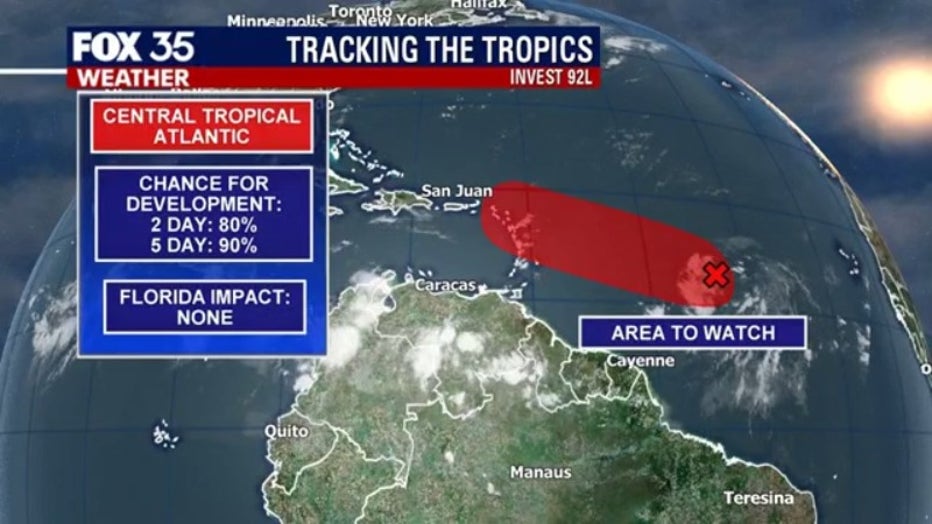
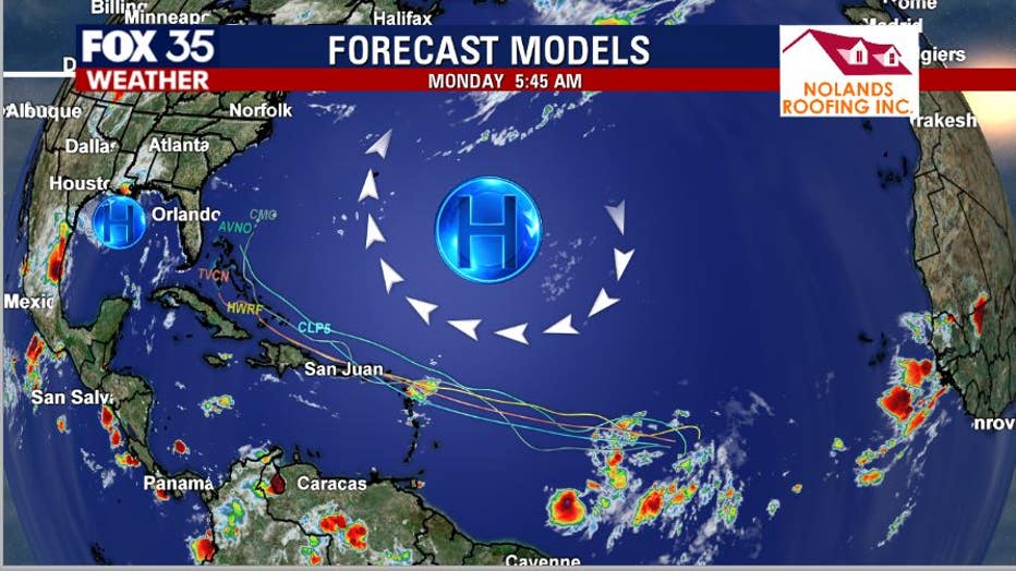
The latest forecast models on Invest 92L show the system staying generally north of the islands through midweek. The Bermuda high anchored out over the Atlantic and a developing high over the northern Gulf should create a tunnel of sorts, helping the storm stay east of Florida, steering out to sea longer term.
STAY PREPARED: Get all you need to know about the 2020 Atlantic hurricane season with the FOX 35 Orlando Hurricane Guide
The bottom line: This developing system needs to be watched for the time being.
Tune in to FOX 35 Orlando for the latest weather updates.