

Orlando weather forecast: Cooler nights ahead for Central Florida after Hurricane Ian: How low temps will go

Central Florida sees cooler temperatures following Hurricane Ian
FOX 35 Storm Team Meteorologist Allison Gargaro has the forecast.
ORLANDO, Fla. - You might need a sweater for the next few nights as Central Florida is seeing much cooler temperatures after Hurricane Ian moved through the area this week.
Thursday night dropped temperatures into the mid-60s and that trend is set to continue for the next several days.
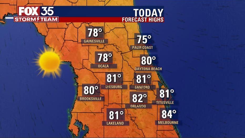
Today's high: 81 degrees
Tonight's low: 65 degrees
Rain: 0%
Main weather concerns:
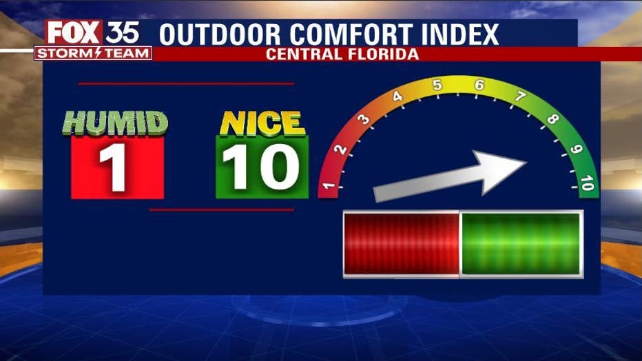
No concerns today. Skies are dry and weather beautiful. This is good news and welcomed as Central Florida cleans up in the wake of IAN.
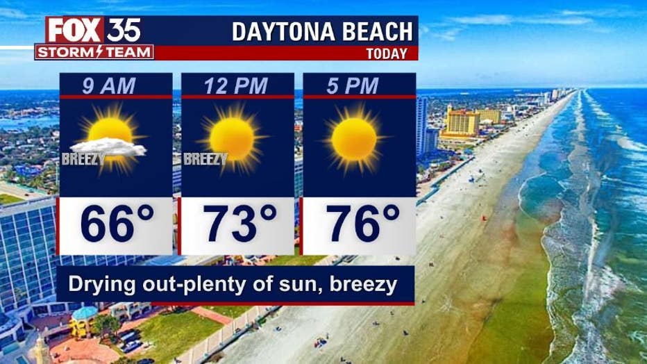
BEACHES:
While the beaches will be nice overall weather wise, rip currents and high surf will be an issue. Rip current threats are high. Surf heights in the 4-6' range are expected. Sunshine prevails with highs in the 70s. Winds trend breezy from the West.
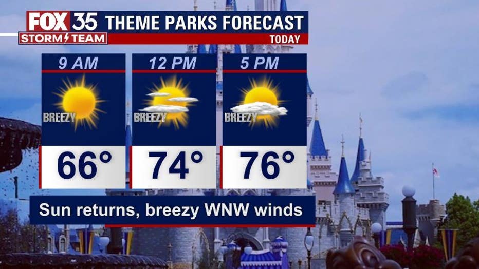
THEME PARKS:
Friday-Sunday at the theme parks looks great weather wise. Expect dry skies and pleasant temps in the low-80s during the day, comfy 60s at night. Sunshine prevails.
EXTENDED OUTLOOK:
The extended outlook for Central Florida weather looks great. Dry skies and sunshine can be expected. Highs temps remain in the low-mid 80s and lows continue in the 60s.
TROPICS:
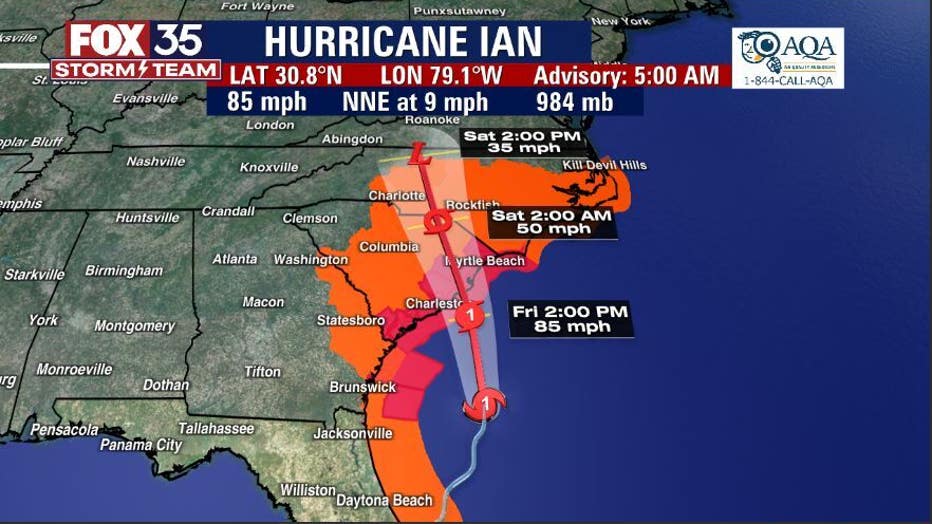
Hurricane Ian continues moving toward South Carolina with a landfall near Charleston by this afternoon. Current winds at 5am this morning are in the 85mph range. Heavy rain, flooding and damaging winds will increase across the Carolinas later today into tonight.
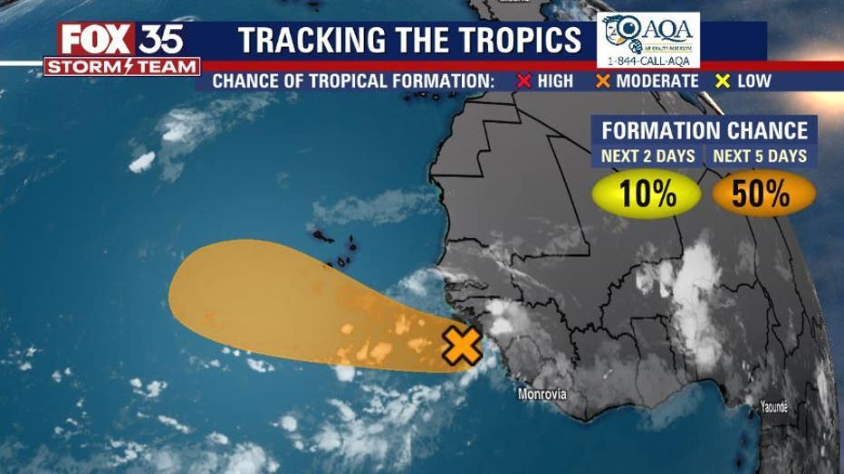
Elsewhere in the tropics, the FOX 35 STORM TEAM is tracking another wave moving off of Africa with a 50% chance of development over the next 5 days.