

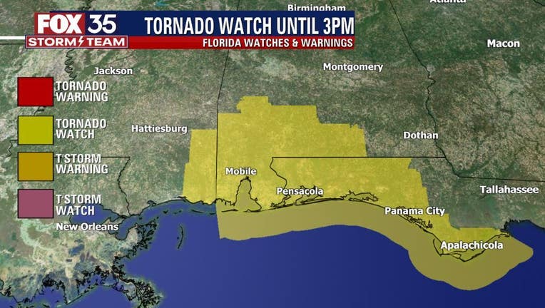
Tornado Watch issued for parts of the Florida Panhandle
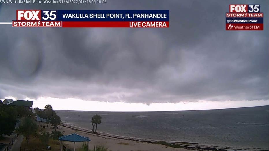
ORLANDO, Fla. - Several areas of strong to severe thunderstorms will push in off the Gulf of Mexico, moving inland across the Florida Panhandle through mid-afternoon.
These storms are laden with energy and severe weather potential. A Tornado Watch is up until 3 p.m. in this region of Florida. A Tornado Watch means atmospheric conditions are favorable for developing tornadoes along with damaging winds in excess of 58 mph, large hail, lightning and torrential rains.
DOWNLOAD: FOX 35 NEWS APP | FOX 35 STORM TEAM WEATHER APP
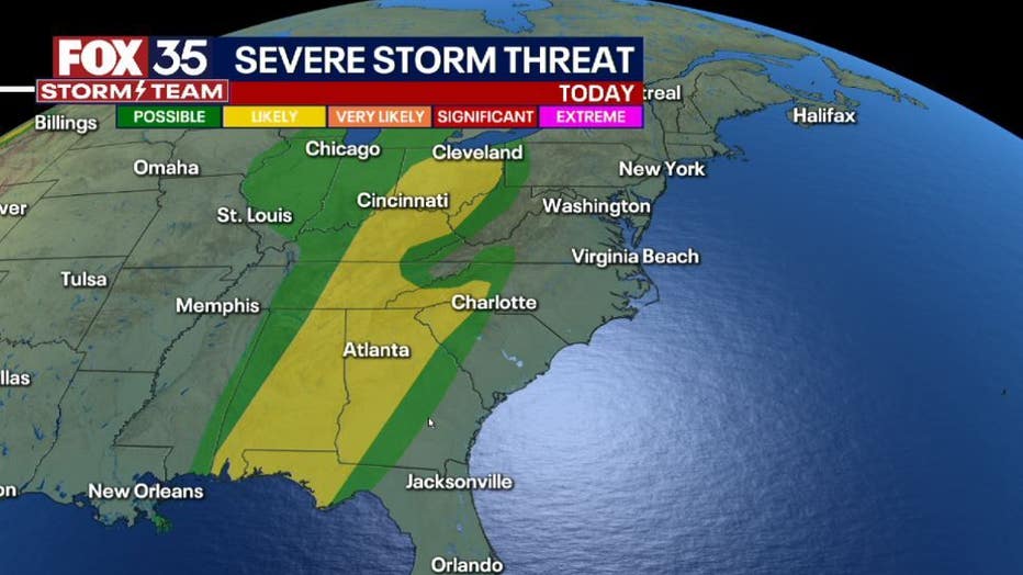
According to FOX 35 Storm Team Chief Meteorologist Jayme King, there is a long corridor of "LEVEL-2 LIKELY" risk from the the Florida Panhandle area all the way to Cleveland, Ohio.
The FOX 35 STORM TEAM is tracking this energy as it moves along an approaching cold front through the afternoon and evening hours. Forecast models weaken this line of weather as it heads into the Florida Peninsula late Friday morning and into the afternoon. Scattered showers and storms return to the local forecast during this time.