Eta strengthening over Caribbean, draws closer to Florida later this weekend

Tracking the Tropics: November 6, 2020
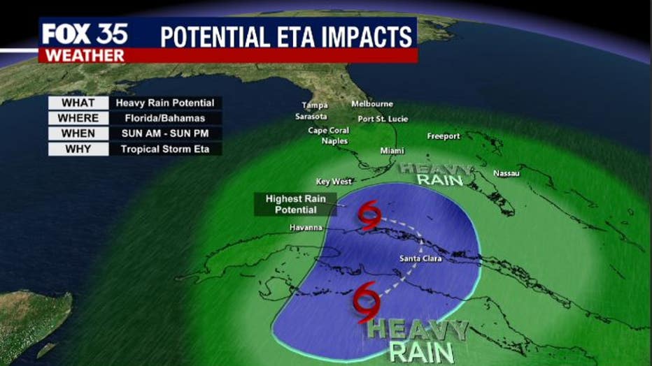
Tropical depression Eta is expected to bring heavy rain to parts of Florida by the middle of next week.
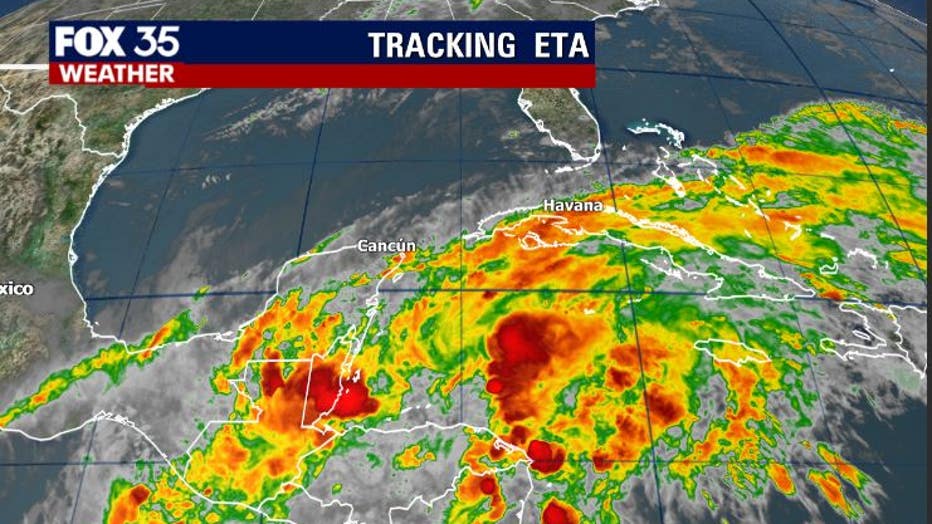
ORLANDO, Fla. - While still relatively disorganized, Tropical Depression ETA has now returned to the warm waters of the Caribbean, just offshore of Belize.
The system will slowly reorganize through the day today and into the weekend.
The general motion will be to the northeast heading for Cuba.
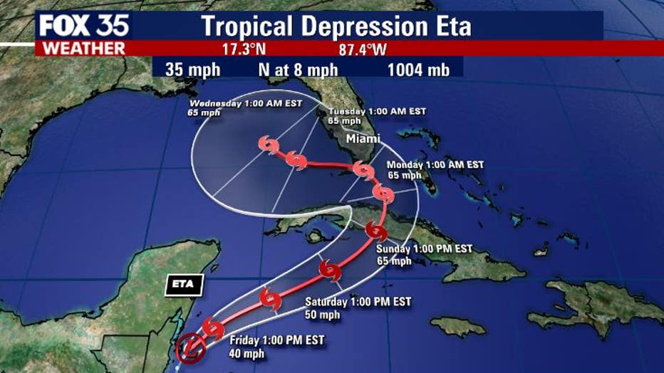
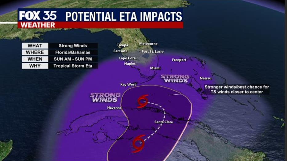
The latest National Hurricane Center forecast track takes ETA across Cuba with winds in the 65 mph range.
From there, the storm will travel closer to the southern Florida Peninsula and over the Florida Keys very early Monday morning. Longer-term tracking then heads into the eastern Gulf, possibly threatening the Florida Panhandle through mid-to-late next week.
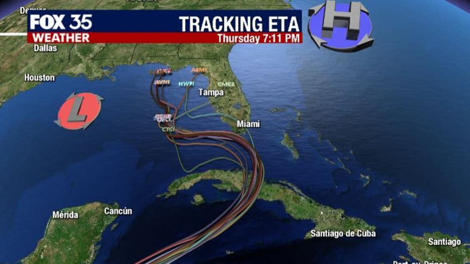
ETA will be steered by low pressure over the northern Gulf of Mexico and high pressure over the Atlantic Seaboard.
The system will literally funnel in between these two weather features.
While Central Florida doesn't look to receive direct impacts from ETA at this time, there will be some increase in winds as ETA interacts with the high and low-pressure areas.
Winds sustained for inland counties of east Central Florida look to be in the range of 20-25 mph, perhaps a bit stronger along the coast with gusts possible to around 40 mph.
The strongest winds will be closer to the center of circulation down in South Florida and through the Keys.
Rain chances will be rising Saturday and Sunday as ETA approaches.
Rain will be at its heaviest likely Sunday and Monday, mostly concentrated over the far southern areas.
Any tornado threat in the spiraling rainbands look to be confined to southern areas of the state through the duration of ETA's close passage.
Our advice to all of our viewers is to maintain close watch on ETA and stay up on the very latest forecasts.
This system has been erratic in nature and the track could change quickly.
DOWNLOAD THE FOX 35 WEATHER APP