

Central Florida clears up but when is our next storm?

Weather Report: April 12
FOX 35 Storm Team Meteorologist Jayme King gives the latest on the weather in Central Florida.
Orlando, FL - After Sunday's brush with severe weather, things are much calmer on Monday.
The day will start with some clouds and damp conditions. However, things are looking up overall as drier air is sliding into Florida from the north through the afternoon. The dry air will scrub the skies of cloud cover, with all locations seeing plenty of sunshine returning.
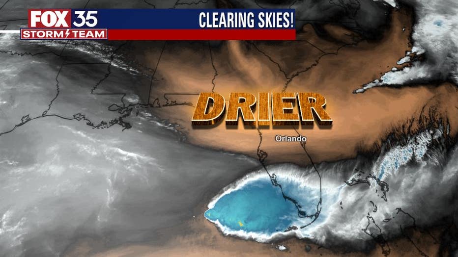
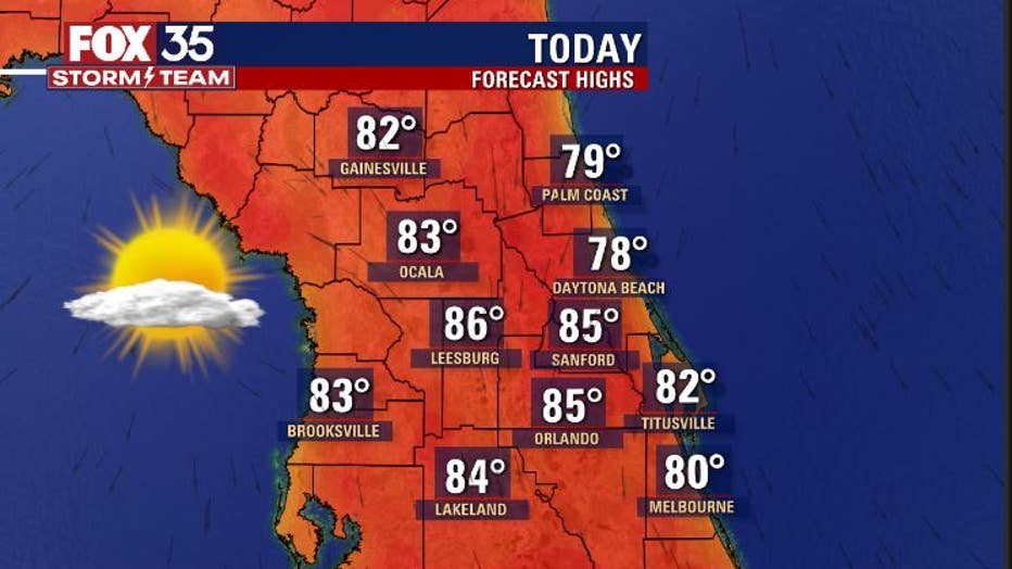
Expect some warm temperatures on Monday afternoon. The mid-80's will be a common theme throughout the interior, with it closer to 80 along the beaches. Again, while the day begins with some clouds, the afternoon will see sunny skies.
Our next rain maker is loading over the desert southwest this morning. This system is steadily moving in the direction of Central Florida. Clouds will increase on Wednesday with a rise in rain chances for the area on Thursday.
WEATHER ALERTS: Download the FOX 35 Storm Team Weather app for live radar, severe weather alerts, and daily forecast reports on your phone
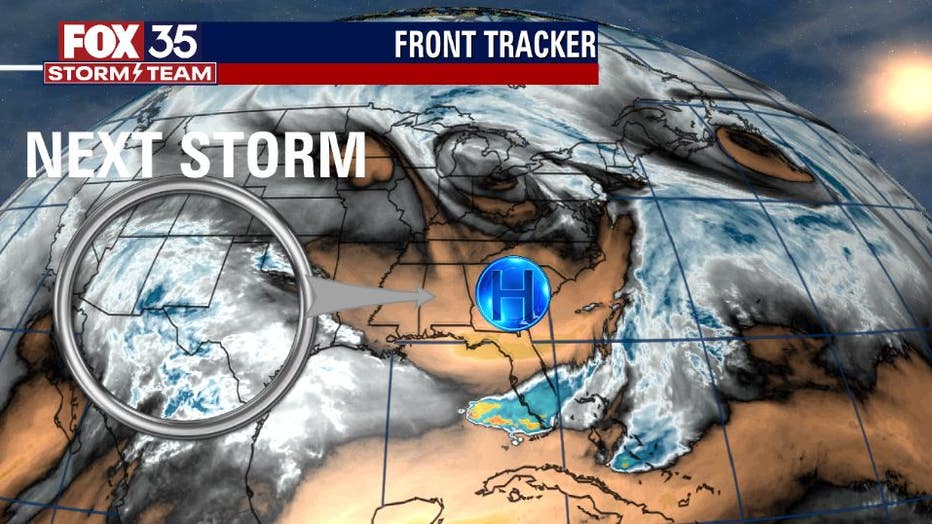
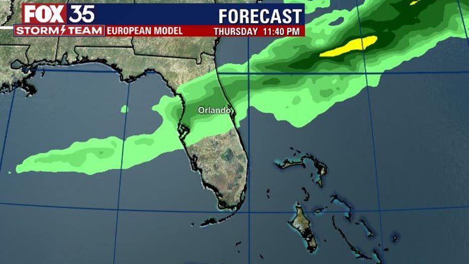
Forecast models show the system's influence on Florida in the form of scattered showers by the afternoon and evening hours of Thursday. After the system breezes by, quiet weather is likely by Friday.
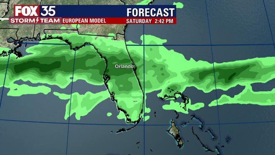
The quiet conditions won't last long though as another front arrives on Saturday. The trend of wet weather grows possibly into Sunday with models showing quite a bit of rain around much of Florida.
Something we will certainly be watching in the FOX 35 Storm Center. Stay tuned.