

Thunderstorms bring torrential rain, lightning to Central Florida

Weather Forecast: June 22, 2021
FOX 35 Storm Team Meteorologist Brooks Garner has the latest on the weather in Central Florida.
Orlando. FL - Coverage of thunderstorms has increased over the course of the afternoon with additional development anticipated over the next few hours along the Interstate 4 corridor.
These strong storms will be capable of producing wind gusts over 40 to 50 mph, large hail, torrential downpours, and frequent lightning. Storms will push offshore from Volusia County through the evening, so mariners should be prepared as storms approach from the west.
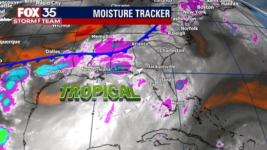
Tropical moisture leftover from what was once Tropical Storm Claudette and a stalled front north of Florida have combined forces to bring stormy skies back to the region.
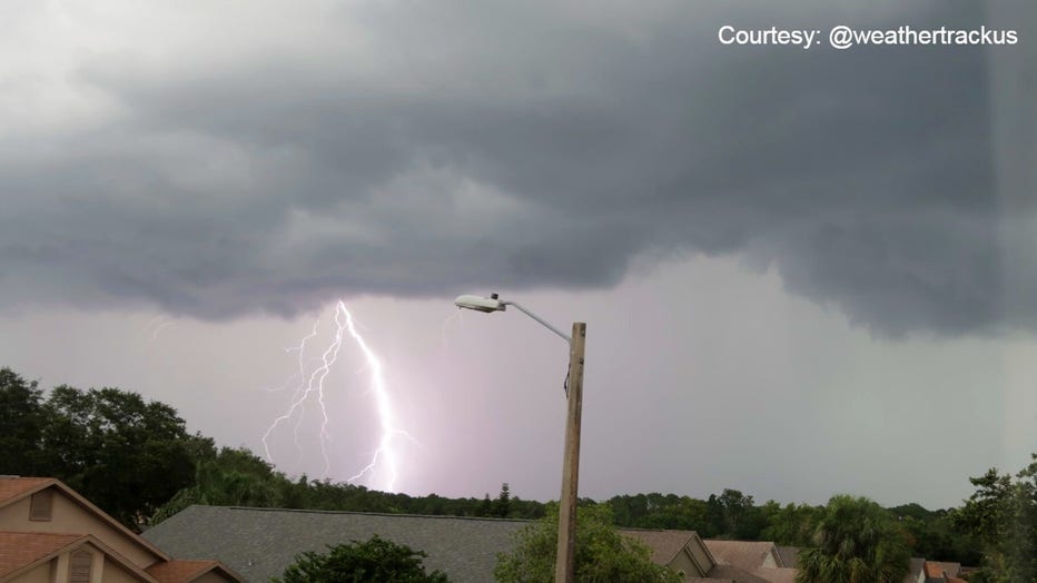
The afternoon storms prompted a Severe Thunderstorm Warning for Seminole County and left thousands without power in the Oviedo area, according to Duke Energy. As of 5 p.m., approximately 3,000 residents were still without power.

Strong storms move through Seminole County
Severe Thunderstorm Warning issued for Seminole & Volusia County.
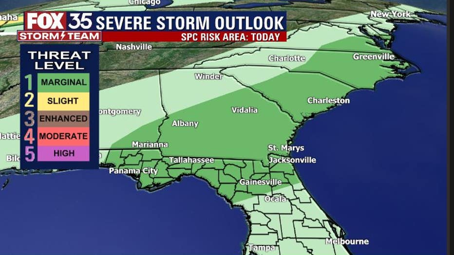
Current model forecasts indicate the upswing in coverage at this time, widely scattered from north to south. Heavy downpours, cloud to ground lightning, small hail, and gusty winds look to be the primary hazards Tuesday. Keep in mind that heavy rainfall can stack up quickly and flood low-lying areas easily. If you encounter a flooded street, turn around and don't attempt to cross.
WEATHER ALERTS: Download the FOX 35 Storm Team Weather app for live radar, severe weather alerts, and daily forecast reports on your phone
Severe storms will tend to be a bit more isolated but it is a risk regardless. The FOX 35 Storm Team will track these all day. Depend on us for the latest weather alerts and updates.
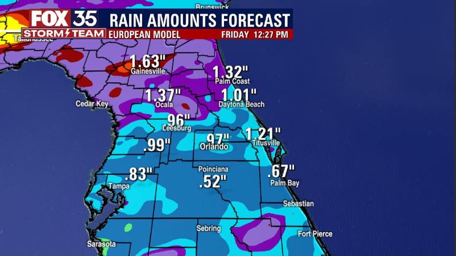
Rainfall amounts will stack up from Tuesday through the end of the week with many areas accumulating over an inch of rain. According to the latest rainfall forecast models, the northern portion of Florida will see some of the highest amounts.
Depend on the FOX 35 Storm Team as we track showers and storms live all week.